The Cliffs of Jessamine Creek Gorge
University of Kentucky Geography
Legend
Waterfall Short Cliff
  Tall Cliff
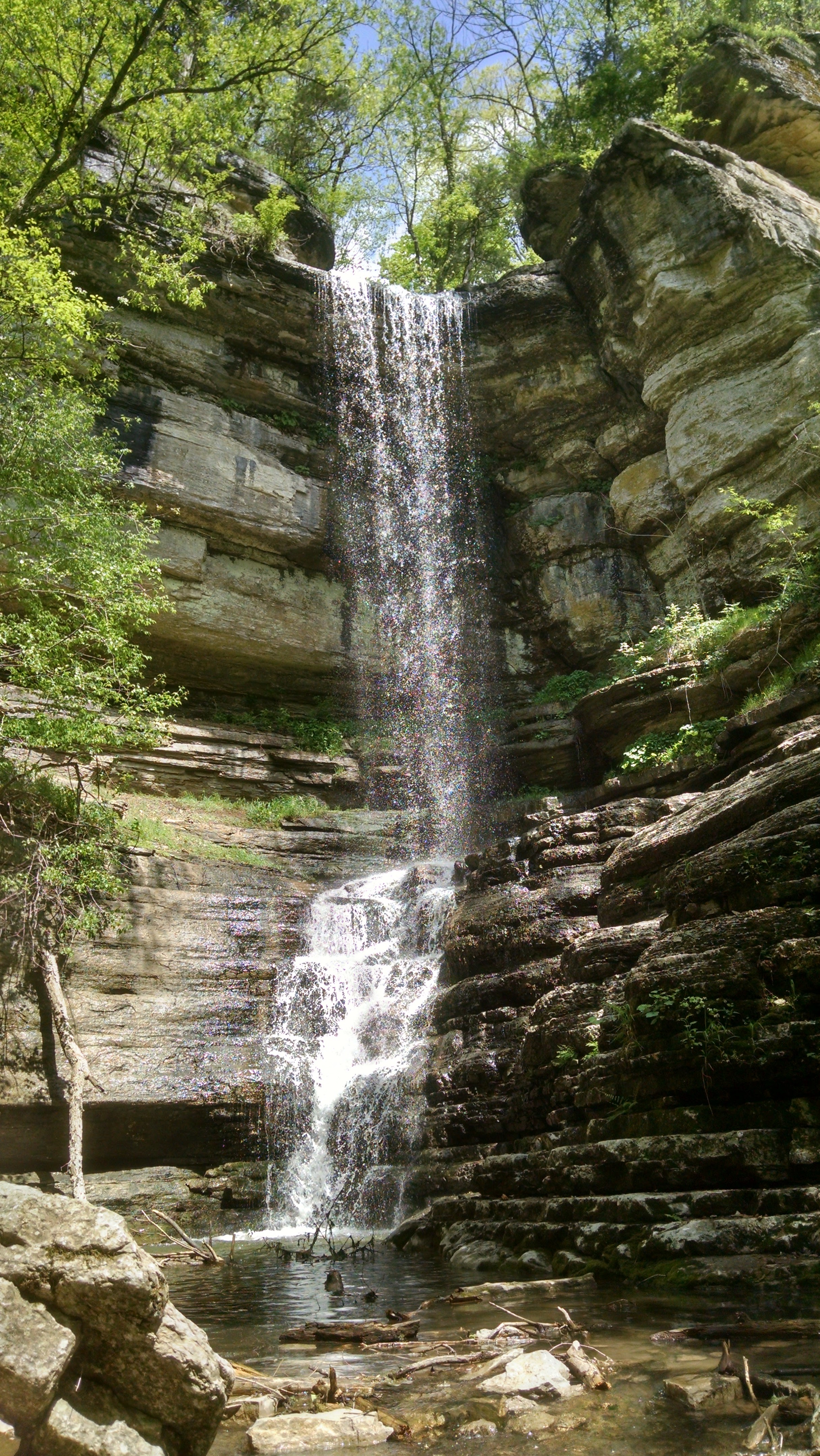
The Jessamine Creek Gorge Area is home to Jessamine Falls, a waterfall flowing down from one of the many steep cliff faces formed by the karst landscape. Jessamine Falls feeds directly into Jessamine Creek, which continues to the Kentucky River greater Palisades.
Elevation data was extracted from lidar point cloud data maintained by Kentucky's Elevation Data & Aerial Photography Program (KyFromAbove) Data accessed April, 2020. Cliff height was found by performing a field calculation on this elevation data. Elevation changes greater than 30 feet were marked as short cliffs and elevation changes greater than 90 feet were marked as tall cliffs
Tools used in this project
- ArcGIS Pro was used to process lidar data and produce elevation derivatives.
- Data is shown on Mapbox web map with geolocation services enabled.
Project assets


Contact Me via email: jeba239@uky.edu